
 French
 Deutsch
ファイル:Ireland United Kingdom Locator.png
このプレビューのサイズ: 656 × 600 ピクセル。 その他の解像度: 263 × 240 ピクセル | 525 × 480 ピクセル | 840 × 768 ピクセル | 1,270 × 1,161 ピクセル。
元のファイル (1,270 × 1,161 ピクセル、ファイルサイズ: 95キロバイト、MIME タイプ: image/png)
ウィキメディア・コモンズのファイルページにある説明を、以下に表示します。 |
概要
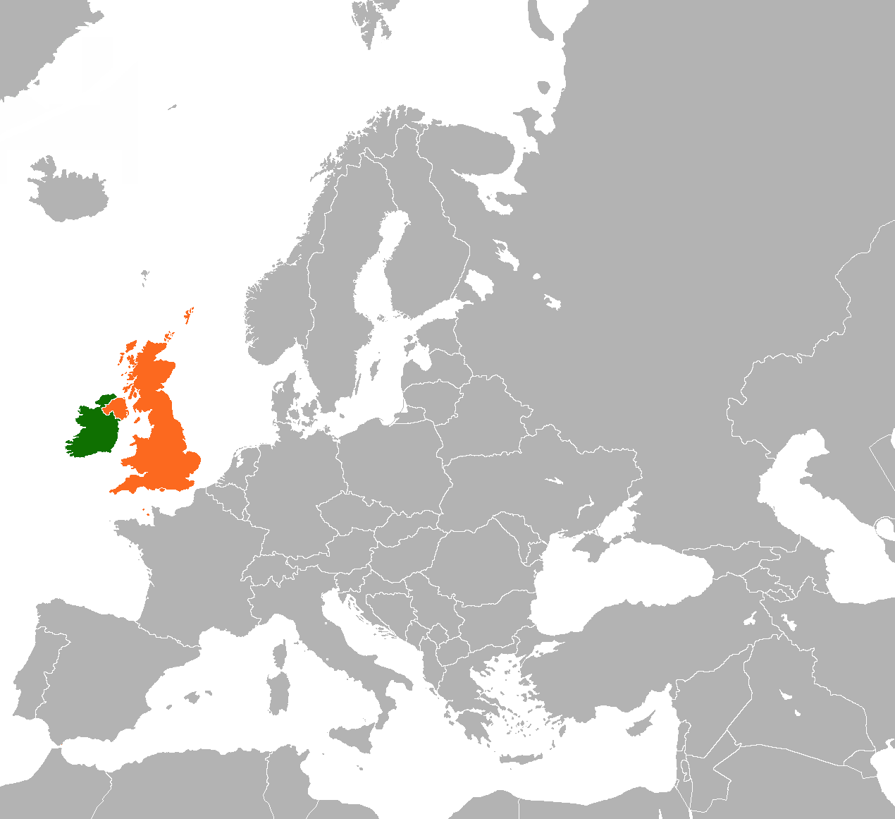
| 解説 | English: Map of Europe indicating the United Kingdom and Republic of Ireland. |
| 日付 | |
| 原典 | 投稿者自身による著作物 Based on File:BlankMap-World-v5.png |
| 作者 | Dancingwombatsrule |
ライセンス
この作品の著作権者であるDancingwombatsrule at the English Wikipediaは、この作品を以下のライセンスで提供しています。
 | この文書は、フリーソフトウェア財団発行のGNUフリー文書利用許諾書 (GNU Free Documentation License) 1.2またはそれ以降のバージョンの規約に基づき、複製や再配布、改変が許可されます。不可変更部分、表紙、背表紙はありません。このライセンスの複製は、GNUフリー文書利用許諾書という章に含まれています。 |
| このファイルはクリエイティブ・コモンズ 表示-継承 3.0 非移植ライセンスのもとに利用を許諾されています。 | ||
| 帰属: Dancingwombatsrule at the English Wikipedia | ||
| ||
| このライセンスのテンプレートは、GFDLのライセンス・アップデートによりこのファイルに追加されたものです。 |
元のアップロードログ
元のファイルページはこちら。以下の利用者は全てen.wikipediaに属します。
- 2011-03-19 13:15 Rannpháirtí anaithnid 450×422× (15027 bytes) Reverted to version as of 10:54, 29 August 2010
- 2011-03-13 20:23 Gavin Lisburn 450×422× (11617 bytes) Reverted to version as of 10:50, 29 August 2010
- 2011-03-13 20:22 Gavin Lisburn 450×422× (11617 bytes) Reverted to version as of 10:50, 29 August 2010; pink is the usual colour in maps & atlases to represent the UK, Dominions etc.
- 2010-08-29 10:54 Mabuska 450×422× (15027 bytes) Reverted to version as of 17:47, 21 November 2007 - turns out world-wide standard colours
- 2010-08-29 10:50 Mabuska 450×422× (11617 bytes) Recoloured Ireland and the United Kingdom to match the newer Ireland county maps better, which also have more neutral and less strong colours
- 2007-11-21 17:47 Dancingwombatsrule 450×422× (15027 bytes) '''Description:''' Map of the world indicating the United Kingdom and Republic of Ireland. For use in [[Anglo-Irish relations]] and similar articles. '''Source:''' Own work based on Image:BlankMap-World-v5.png '''Date:''' 19th July 2007 '''Author:''' [
ファイルの履歴
過去の版のファイルを表示するには、その版の日時をクリックしてください。
| 日付と時刻 | サムネイル | 寸法 | 利用者 | コメント | |
|---|---|---|---|---|---|
| 現在の版 | 2023年5月28日 (日) 22:57 | | 1,270 × 1,161 (95キロバイト) | Aquintero82 | Updated map |
| 2013年5月25日 (土) 17:28 |  | 450 × 422 (15キロバイト) | Dmcq | Reverted to version as of 22:52, 6 May 2013: Sorry I see it is some stupid MOS standard | |
| 2013年5月25日 (土) 17:23 |  | 450 × 422 (11キロバイト) | Dmcq | Reverted to version as of 03:02, 16 January 2012: use more standard colours | |
| 2013年5月25日 (土) 17:22 |  | 450 × 422 (11キロバイト) | Dmcq | Reverted to version as of 03:02, 16 January 2012 | |
| 2013年5月6日 (月) 22:52 |  | 450 × 422 (15キロバイト) | Chipmunkdavis | Reverted to version as of 03:02, 16 January 2012 Circling all the microstates puts an emphasis on them, which is not the point of this map | |
| 2013年5月6日 (月) 22:04 |  | 450 × 422 (20キロバイト) | Britannic124 | More standard image. | |
| 2012年1月16日 (月) 03:02 |  | 450 × 422 (15キロバイト) | OgreBot | (BOT): Reverting to most recent version before archival | |
| 2012年1月16日 (月) 03:02 |  | 450 × 422 (11キロバイト) | OgreBot | (BOT): Uploading old version of file from en.wikipedia; originally uploaded on 2010-08-29 10:50:15 by Mabuska | |
| 2012年1月15日 (日) 04:53 |  | 450 × 422 (15キロバイト) | File Upload Bot (Magnus Manske) | {{BotMoveToCommons|en.wikipedia|year={{subst:CURRENTYEAR}}|month={{subst:CURRENTMONTHNAME}}|day={{subst:CURRENTDAY}}}} {{Information |Description={{en|'''Description:''' Map of the world indicating the United Kingdom and Republic of Ireland. For use in [ |
ファイルの使用状況
以下のページがこのファイルを使用しています:
グローバルなファイル使用状況
以下に挙げる他のウィキがこの画像を使っています:
- ar.wikipedia.org での使用状況
- de.wikipedia.org での使用状況
- en.wikipedia.org での使用状況
- es.wikipedia.org での使用状況
- fa.wikipedia.org での使用状況
- fr.wikipedia.org での使用状況
- he.wikipedia.org での使用状況
- pt.wikipedia.org での使用状況
- ru.wikipedia.org での使用状況
- uk.wikipedia.org での使用状況
- www.wikidata.org での使用状況
- zh.wikipedia.org での使用状況