
 French
 Deutsch
Khudosey
| Khudosey Худосей | |
|---|---|
 Mouth location in Yamalo-Nenets Autonomous Okrug, Russia | |
| Physical characteristics | |
| Mouth | Taz |
• coordinates | 65°36′08″N 82°23′15″E / 65.6021°N 82.3874°E |
| Length | 409 km (254 mi) |
| Basin size | 11,200 km2 (4,300 sq mi) |
| Basin features | |
| Progression | Taz→ Kara Sea |
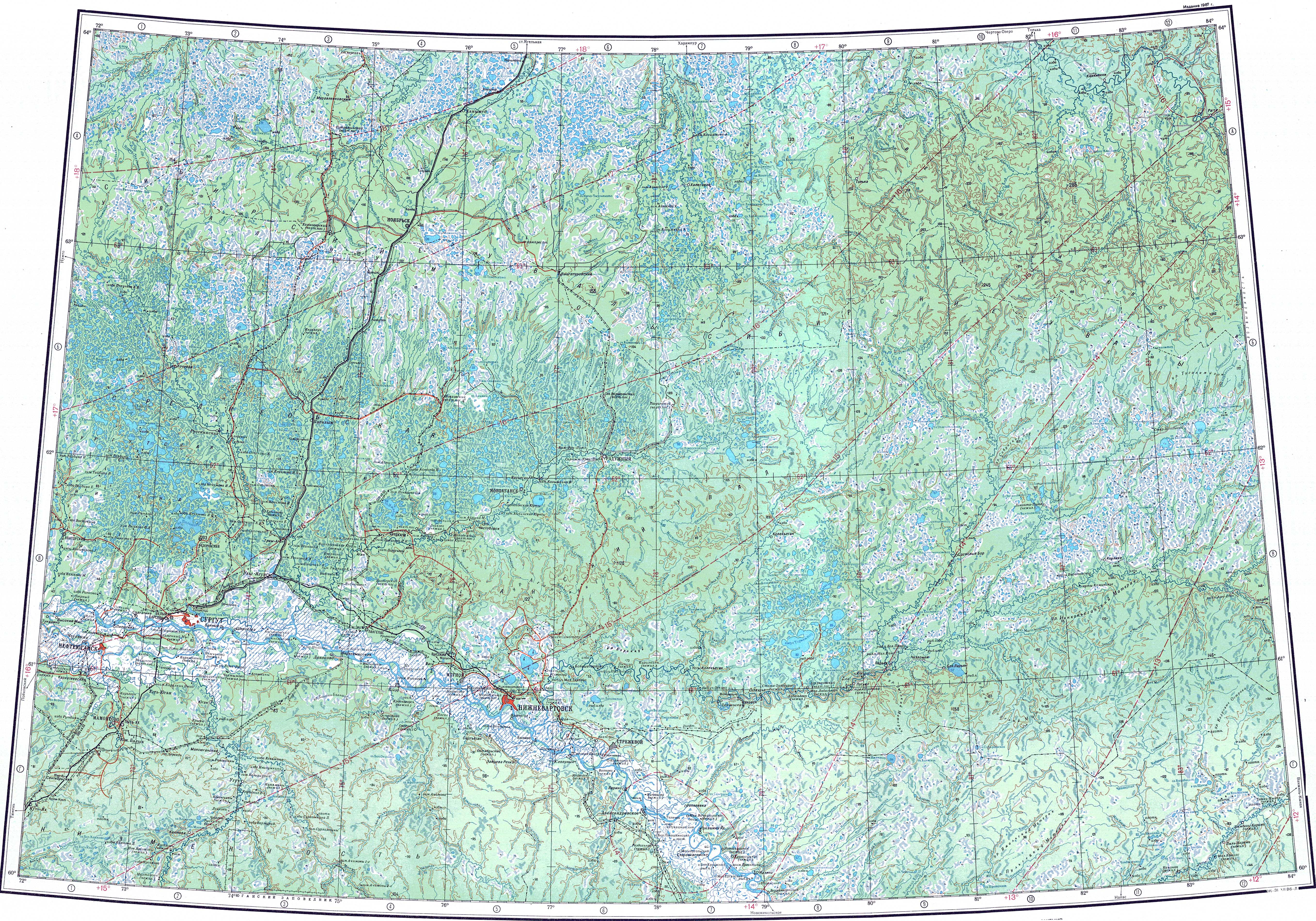
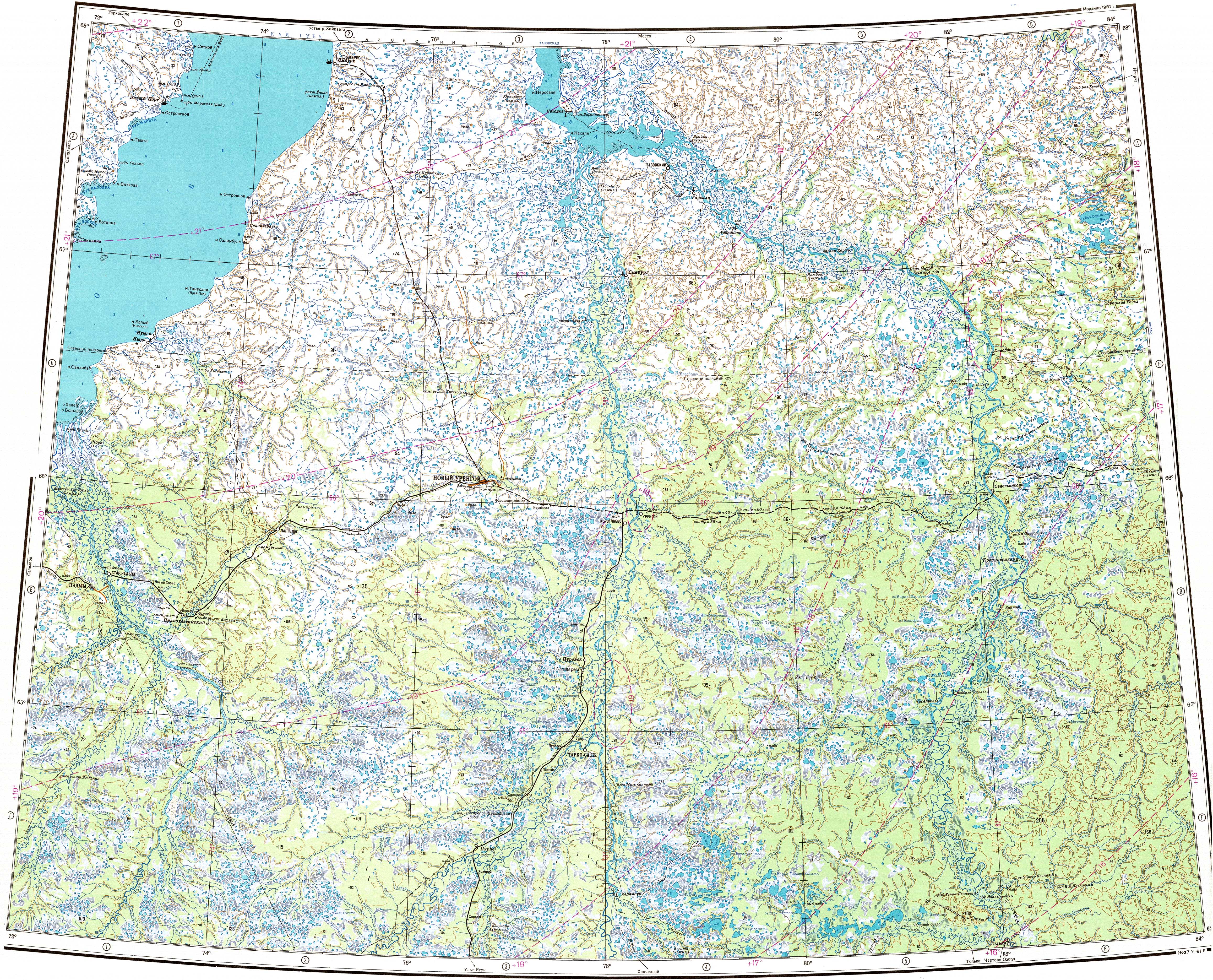
The Khudosey (Russian: Худосей) is a river in the West Siberian Plain, Russia. It is a right tributary of the Taz. It is 409 kilometres (254 mi) long, and has a drainage basin of 11,200 square kilometres (4,300 sq mi).[1]
Course[edit]
Its source is in the Yamalo-Nenets Autonomous Okrug and after about 5 km (3.1 mi) downstream it crosses into Krasnoyarsk Krai. It meets the right bank of the Taz 412 km (256 mi) from its mouth in the Taz Estuary of the Kara Sea.[2][3][4]
Tributaries[edit]
The main tributaries of the Khudosey are the 114 km (71 mi) long Kashky (Кашкы) and the 113 km (70 mi) long Pokalky (Покалькы) on the right, as well as the 126 km (78 mi) long Limpypitylky (Лимпыпитылькы) on the left. The river is frozen between late October and late May.[2][5][1]
 |
See also[edit]
References[edit]
- ^ a b "Река Худосей in the State Water Register of Russia". textual.ru (in Russian).
- ^ a b "P-43_44 Topographic Chart (in Russian)". Retrieved 11 June 2022.
- ^ "Q-43_44 Topographic Chart (in Russian)". Retrieved 11 June 2022.
- ^ Google Earth
- ^ Информационный, образовательный, культурный центр города Губкинского Ямало-Ненецкого автономного округа
This article related to a river in Russia is a stub. You can help Wikipedia by expanding it. |