
 French
 Deutsch
File:Payette124d.jpg
No higher resolution available.
Payette124d.jpg (679 × 491 pixels, file size: 98 KB, MIME type: image/jpeg)
| This is a file from the Wikimedia Commons. Information from its description page there is shown below. Commons is a freely licensed media file repository. You can help. |
Summary
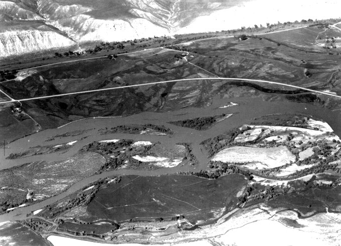
| Description | English: Payette River lower course, ID |
| Source | http://www.nww.usace.army.mil/dpn/images/payette124.htm |
| Author | USACE |
| Camera location | | View this and other nearby images on: OpenStreetMap |
|---|
Licensing
This file is a work of a U.S. Army soldier or employee, taken or made as part of that person's official duties. As a work of the U.S. federal government, it is in the public domain in the United States.
|  |
File history
Click on a date/time to view the file as it appeared at that time.
| Date/Time | Thumbnail | Dimensions | User | Comment | |
|---|---|---|---|---|---|
| current | 04:09, 26 January 2010 | | 679 × 491 (98 KB) | Shannon1 | {{Information |Description={{en|1=Payette River lower course, ID}} |Source=http://www.nww.usace.army.mil/dpn/images/payette124.htm |Author=USACE |Date= |Permission= |other_versions= }} Category:Rivers of Idaho |
File usage
The following pages on the English Wikipedia use this file (pages on other projects are not listed):
Global file usage
The following other wikis use this file:
- Usage on arz.wikipedia.org
- Usage on de.wikipedia.org
- Usage on es.wikipedia.org
- Usage on www.wikidata.org
- Usage on zh.wikipedia.org