
 French
 Deutsch
File:Haaka Gan Min Yue.png
Size of this preview: 651 × 600 pixels. Other resolutions: 261 × 240 pixels | 521 × 480 pixels | 687 × 633 pixels.
Original file (687 × 633 pixels, file size: 32 KB, MIME type: image/png)
| This is a file from the Wikimedia Commons. Information from its description page there is shown below. Commons is a freely licensed media file repository. You can help. |
 | This locator map image could be re-created using vector graphics as an SVG file. This has several advantages; see Commons:Media for cleanup for more information. If an SVG form of this image is available, please upload it and afterwards replace this template with {{vector version available|new image name}}. It is recommended to name the SVG file “Haaka Gan Min Yue.svg”—then the template Vector version available (or Vva) does not need the new image name parameter. |
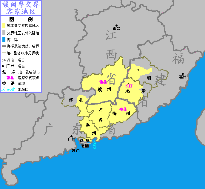
| Description | 中文(中国大陆):赣闽粤交界客家地区。将分省市地图导入画图软件,用画笔描绘相关省市的轮廓,参照赣闽粤交界客家地区的行政区划图填涂、绘色修缮,填入相关地名,制作图例。 | ||
| Date | |||
| Source | Own work | ||
| Author | Rich4 at Chinese Wikipedia | ||
| Permission (Reusing this file) |
|
Original upload log
The original description page was here. All following user names refer to zh.wikipedia.
- 2005-10-18 01:32 Rich4 687×633× (32321 bytes) *'''内容介绍:'''赣闽粤交界客家地区 *'''原创者:'''[[User:rich4|rich4]] *'''创作日期:'''2005年10月18日 *'''创作方法:'''将分省市地图导入画图软件,用画笔描绘相关省市的轮廓,参照赣闽粤交界客�
File history
Click on a date/time to view the file as it appeared at that time.
| Date/Time | Thumbnail | Dimensions | User | Comment | |
|---|---|---|---|---|---|
| current | 08:25, 30 May 2014 | | 687 × 633 (32 KB) | Taiwania Justo | Transferred from zh.wikipedia |
File usage
The following pages on the English Wikipedia use this file (pages on other projects are not listed):
Global file usage
The following other wikis use this file:
- Usage on hak.wikipedia.org
- Usage on id.wikipedia.org
- Usage on zh.wikipedia.org