
 French
 Deutsch
File:County Bridge 178, Twin Bridges.jpg
Size of this preview: 800 × 600 pixels. Other resolutions: 320 × 240 pixels | 640 × 480 pixels | 1,024 × 768 pixels | 1,280 × 960 pixels | 2,560 × 1,920 pixels | 2,816 × 2,112 pixels.
Original file (2,816 × 2,112 pixels, file size: 3.91 MB, MIME type: image/jpeg)
| This is a file from the Wikimedia Commons. Information from its description page there is shown below. Commons is a freely licensed media file repository. You can help. |
| This is an image of a place or building that is listed on the National Register of Historic Places in the United States of America. Its reference number is 200. |
| Camera location | | View this and other nearby images on: OpenStreetMap |
|---|
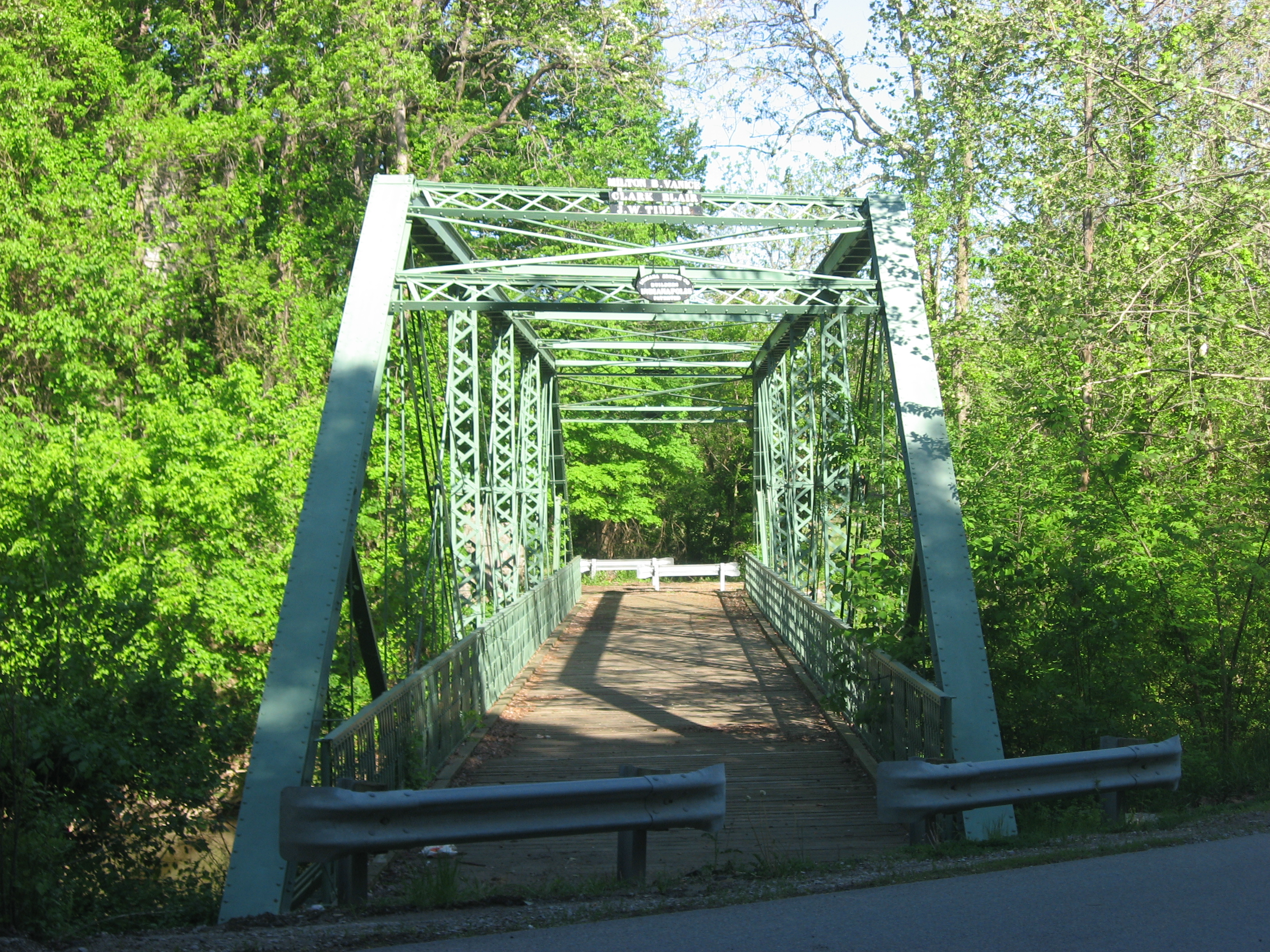
| Description | English: Eastern end of the County Bridge 178, which formerly carried Road 150E over White Lick Creek on the eastern edge of Danville, Hendricks County, Indiana, United States. Built in 1887, it and an adjacent railroad bridge are listed together on the National Register of Historic Places as the Twin Bridges. | ||
| Date | Taken on 16 May 2011 | ||
| Source | Own work | ||
| Author | Nyttend | ||
| Permission (Reusing this file) |
|
File history
Click on a date/time to view the file as it appeared at that time.
| Date/Time | Thumbnail | Dimensions | User | Comment | |
|---|---|---|---|---|---|
| current | 23:54, 23 May 2011 | | 2,816 × 2,112 (3.91 MB) | Nyttend | {{Location|39|45|15|N|86|30|15|W}} {{Information |Description={{en|Eastern end of the County Bridge 178, which formerly carried Road 150E over White Lick Creek on the eastern edge of {{w|Danville, Indiana|Danville}}, {{w|Hendricks County, Indiana|Hendrick |
File usage
The following pages on the English Wikipedia use this file (pages on other projects are not listed):
Global file usage
The following other wikis use this file:
- Usage on www.wikidata.org